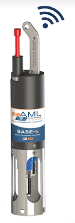

The NORBIT iWBMS-Long is a high resolution bathymetric mapping system, capable of capturing data from depths of 20 cm to 600 m, using two operating frequencies (200 kHz and 400 kHz) and a sound velocity profiler that reaches depths of up to 300 m.
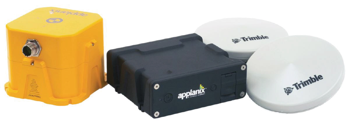
It is equipped with a dual frequency, dual antenna geodetic geodetic navigation system (TRIMBLE) and an inertial system, the POS MV Wavemaster II (APPLANIX), ensuring precise motion compensation and accurate georeferencing during data acquisition.
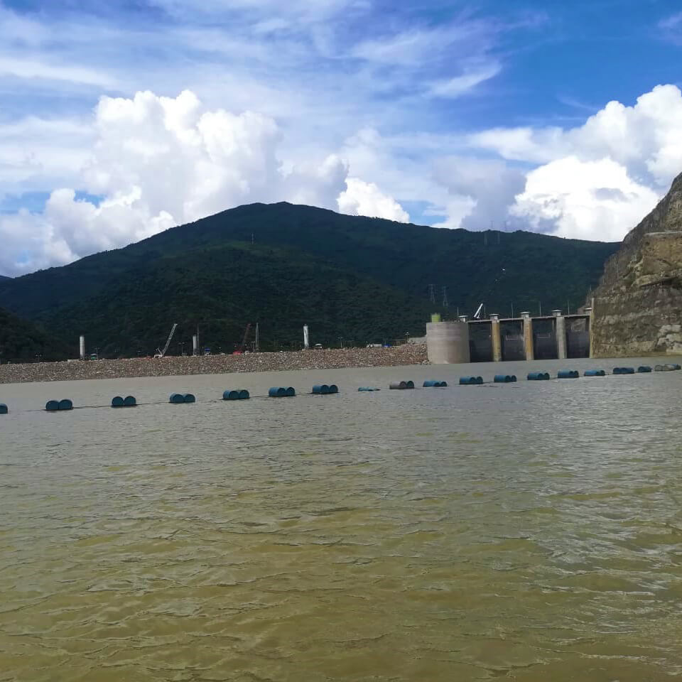
This sensor also played a key role during Ituango Hydroelectric Emergency Project, where it was used to generate the digital bathymetric model of Cauca river. During data collection, due to a minor oversight during assembly, the equipment nearly got lost in the turbulent waters. Fortunately, the company’s CEO managed to grab it just in time as it had already come loose from its fastenings. What could have ended as a major loss instead turned into a memorable anecdote.