
Our Mission
We model the real world, for a multipurpose worldWe are
Business Group
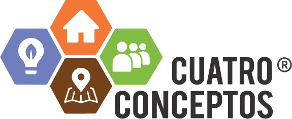
Cuatro Conceptos®
An organization formed by four fully Colombian owned companies, bringing together more than 150 highly qualified professionals dedicated to the Capture, Analytics, and Modeling of Geographic Data across Latin American territories.
A consulting firm with presence across Latin America, recognized for its extensive experience in geospatial solutions.
Specialized in the production of cartographic products spanning more than 29 million hectares, as well as in the transformation and management of geographic information. It provides technical support for land use planning projects related to water resources, multipurpose cadastre, risk management, geodesy, software development, and AI powered tools. Its portfolio also includes projects for the implementation of Continuously Operating Reference Stations (CORS).

A leading organization in technological solutions and specialized services, recognized for its comprehensive participation throughout the entire value chain of the multipurpose cadastre. The company’s core activities include large scale parcel sweeping, the technological development of cadastral databases, and the quality assurance and control of cartographic and cadastral products.

A service company specializing in air transportation under the category of Special Aerial Works including aerial photography, aerial photogrammetry, geology, and seismology, serving both public and private sector organizations, with operations at national and international levels. Notably, it was the first company in Colombia to be certified under RAC 138 by the Special Administrative Unit of Civil Aeronautics for special aerial works with CDO-127.
A corporation with more than 20 years of experience conducting research and experimental development in the field of Natural Sciences and Engineering. Its main activities include projects related to climate change, ecosystem services, and green and blue carbon credits.
100%Colombian
Founded in
in Bogotá
Since
Cooperating Partner of IPGH
Professionals with over
years of experience
A select group of specialized professionals with over 30 years of experience in various fields of knowledge. Professionals who are authors and co-authors of books, methodologies, and public and private procedures, among which we can highlight:
Authors y Coauthors