
We model the real world,
for a multipurpose world
We model the real world,
for a multipurpose world
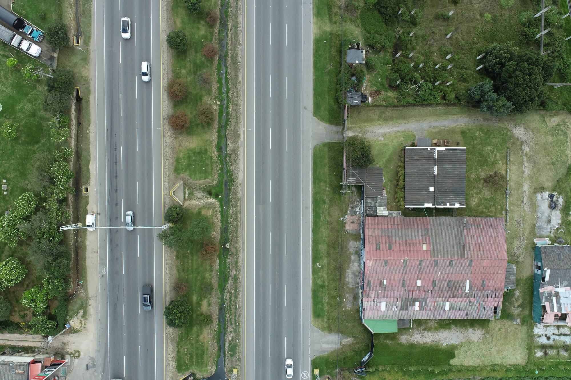
Study for the Delimitation of River’s Hydrological Buffer Zone
(Mocoa – Putumayo)
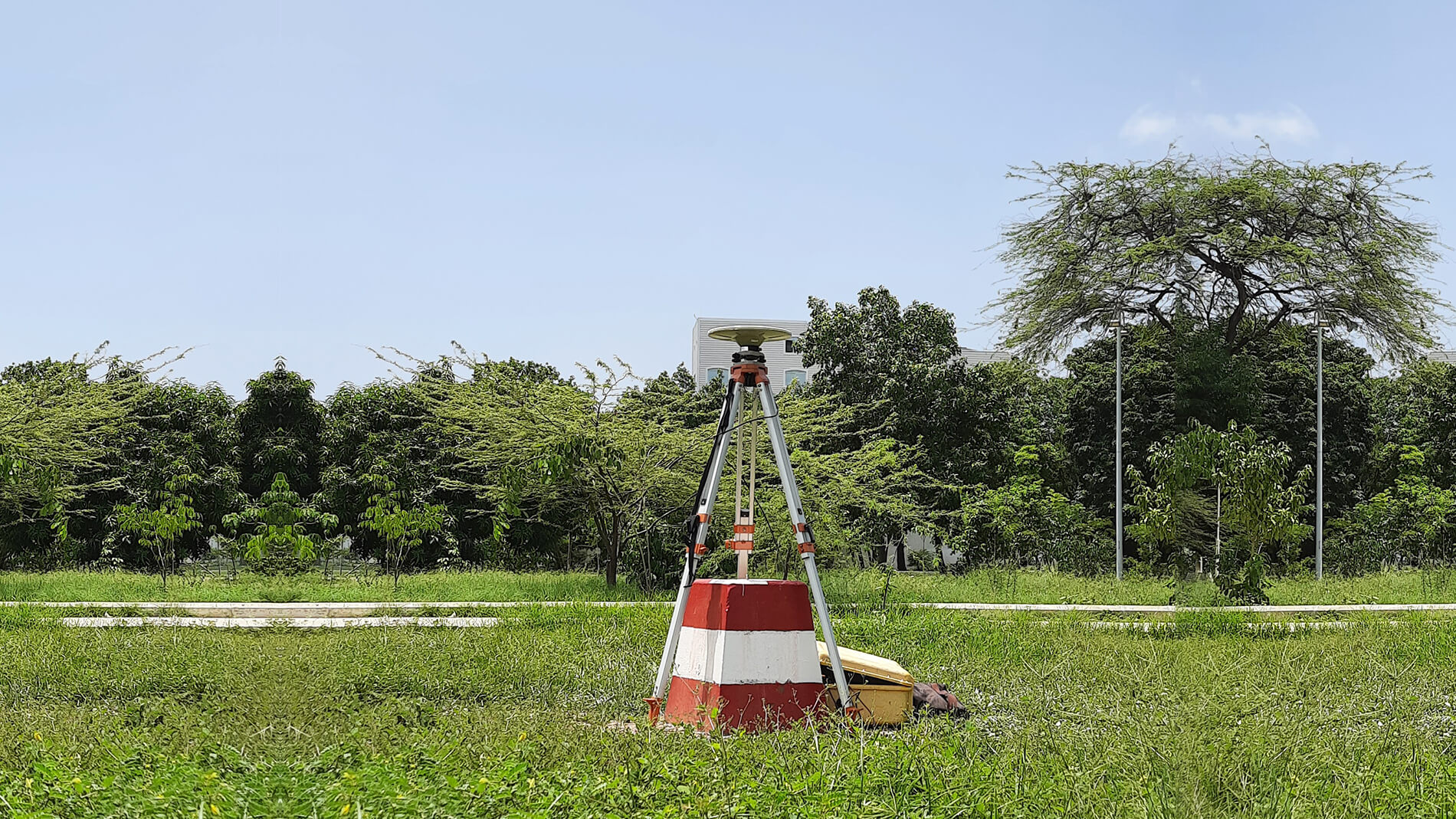
CORS Project
Advanced surveying systems make it unnecessary to use a base antenna; by having only a Rover available, you can access positional reference data.
- Geomatics and Surveying
- Cadastral and Real Estate Management
- Social Management
- Environmental and Productive Land Use Planning
- Xpherelab – Software Factory
- Carbono & Bosques
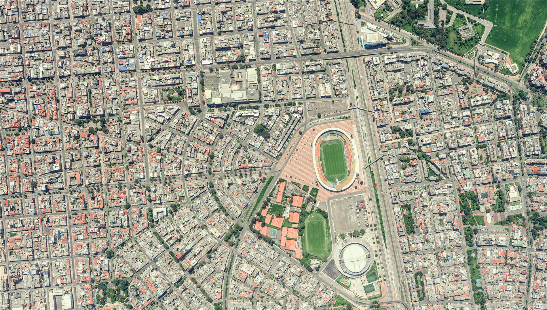
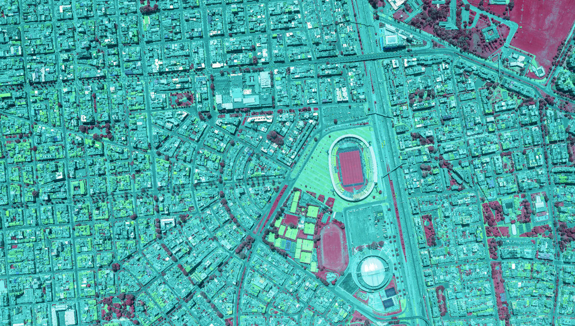
Geomatics and Surveying
They are efficiently applied through methods of data capture, modeling, storage, representation, and management of geographic and alphanumeric information, contributing to proper land management that provides responsiveness and added value to each project.
Cadastral and Real Estate Management
We conceive land as a transformative and dynamic resource, whose proper representation helps ensure legal security along with the registration of its ownership status and forms of tenure.
Aliado estratégico:![]()
Social Management
An approach that integrates technological knowledge with the ancestral wisdom of local communities, ensuring the effective inclusion of the social and community component in every project carried out.
Environmental and Productive Land Use Planning
Technical capacity and experience in the processes of diagnosis, formulation, and consensus-building of the different land-use planning instruments, involving environmental and productive determinants.
Xpherelab – Software Factory
We are committed to delivering a robust and adaptable solution that drives infrastructure management, territorial planning, engineering, environmental stewardship, disaster risk assessment, and other strategic areas.
Carbono & Bosques
Forestry experts with extensive experience in the quantification and valuation of goods and services derived from forestry and land-use activities.
We use cutting-edge technologies in the fields of geosciences and ICT, enabling us to guarantee a high-quality, sustainable, timely, and cost-effective service, oriented toward excellence and exceeding our clients’ expectations.
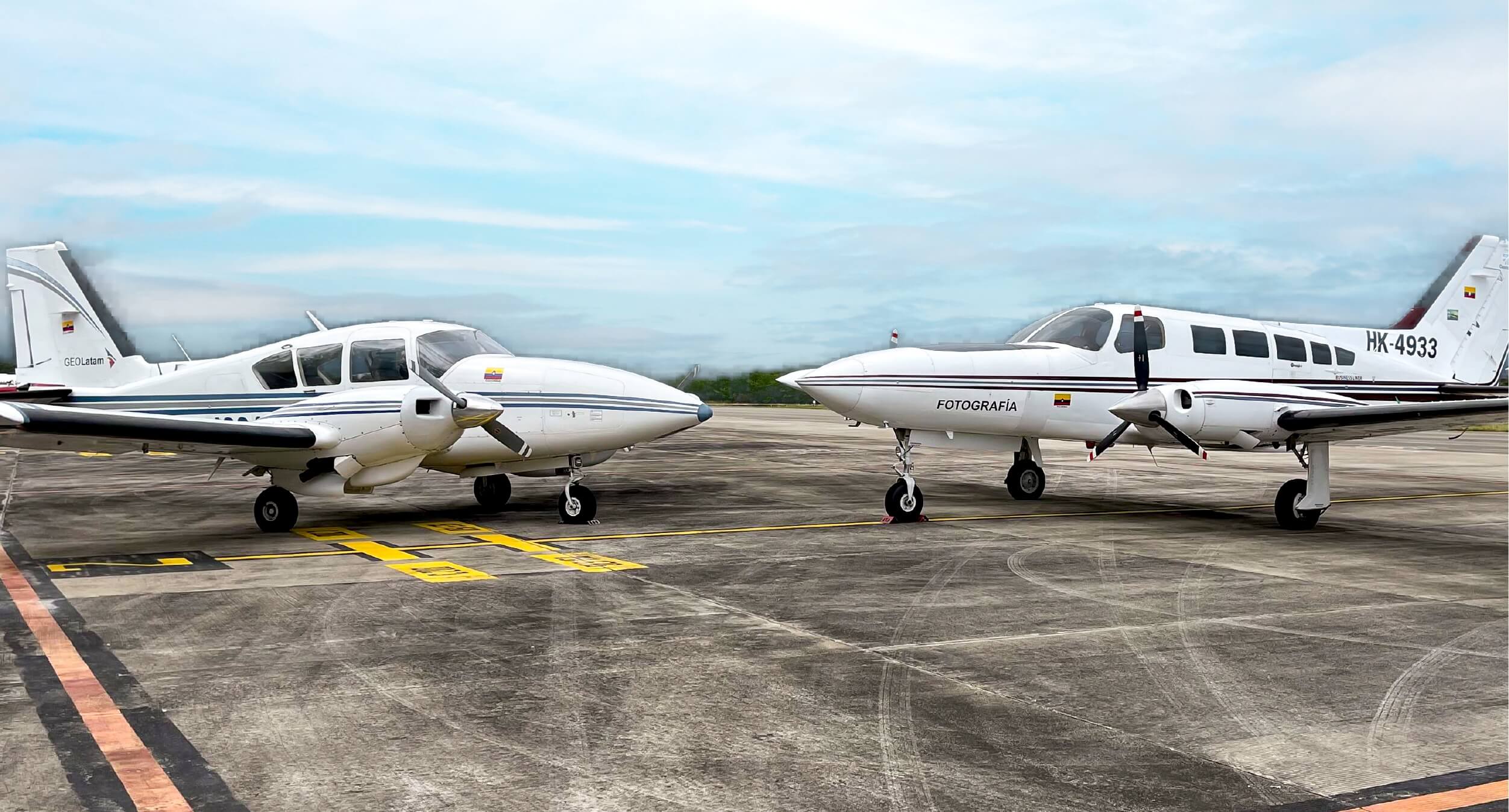
Crewed aircraft
View details
Leica CityMapper Sensors
View details
TerrainMapper Sensor
View details
Airborne Sensor - ALS70HP LiDAR + RCD30 camera
View details
MultiHaz Bathymetric Sensor
View details
Remotely Piloted Aircraft System (RPAS) and Zenmuse Sensors
View details
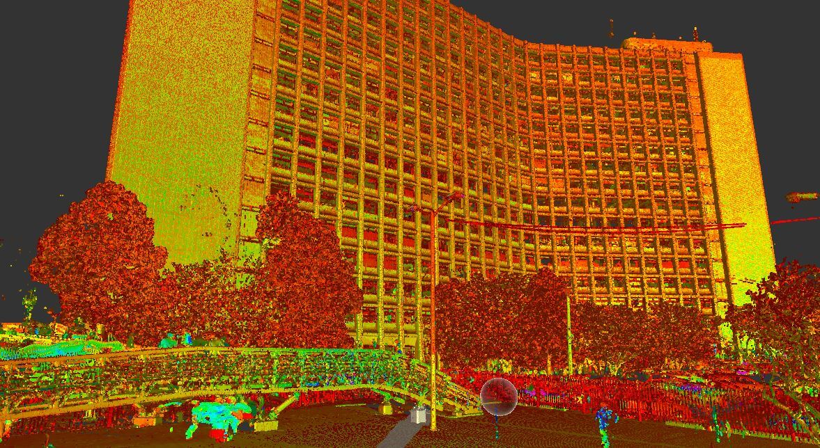
Terrestrial Laser LiDAR Sensor
View details