

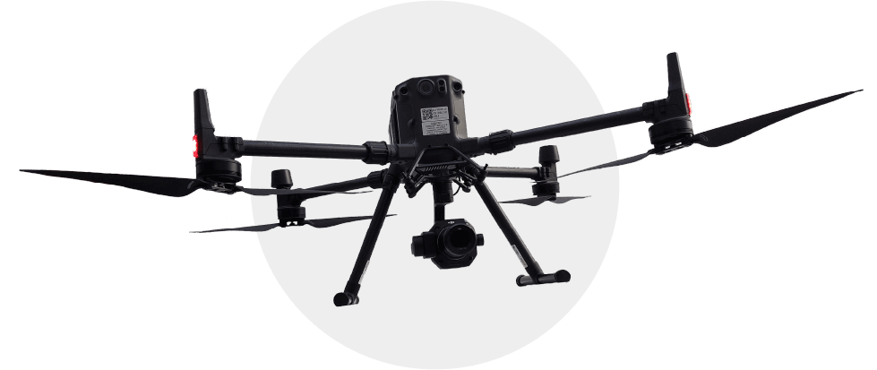
DJI Matrice 300 RTK drone offers flight endurance of approximately 55 minutes. It is designed to carry RGB or LiDAR sensors, equipped with an anti collision system, RTK positioning with GNSS support, dual vision sensors in six directions, and an adjustable detection range between 1 and 40 m.

For cartographic projects involving areas of less than 400 hectares, drone based data acquisition with these sensors achieves centimeter precision comparable airborne platforms data acquisition.
Compatible payloads include:
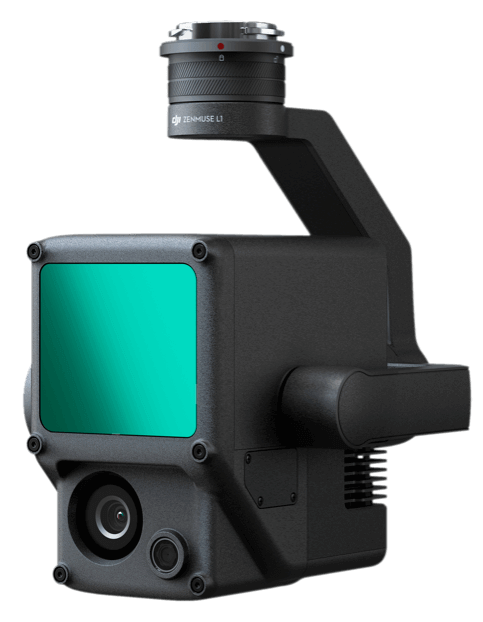
Zenmuse L1
It integrates an RGB camera and LiDAR system with a ranging capacity of 3 cm to 100 cm, supporting up to 3 returns and a rate of 240,000 points per second. It provides a horizontal accuracy of 10–50 cm and vertical accuracy of 5–50 cm. It also incorporates an Inertial Measurement Unit (IMU) to calculate drone orientation.
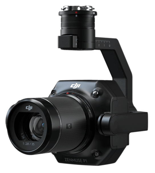
Zenmuse P1
A photogrammetric camera capable of capturing one image every 0.7 seconds during flight. It features a full frame sensor with low noise and high sensitivity, covering up to 3 km² in a single mission and delivering centimeter level accuracy.